Guidance on traveling and travel restrictions varies across the United States as the country faces new surges in Covid-19 cases ahead of Thanksgiving travel.
The patchwork of restrictions between regions highlights the ability of states to take different approaches while dealing with the coronavirus pandemic.
While all of the Northeast and most of the mid-Atlantic states have implemented statewide travel restrictions, more than half the states, including two of the biggest, Texas and Florida, have no such restrictions.
California, Oregon and Washington introduced tough travel restrictions in November, requiring all out-of-state visitors and returning residents to self-quarantine for two weeks on arrival.
States hit the hardest when the epidemic began in the United States last spring, such as New York, New Jersey and Connecticut, also have some of the most stringent travel restrictions.
As of Nov. 13, any traveler from the more than 40 states and territories currently on the tri-state’s advisory list must self-quarantine for 14 days. States will appear on the advisory list if they have new daily positive test rates higher than 10 per 100,000 residents or are states with a 10 percent or higher positivity rate over a seven-day rolling average.
Instead of opting for statewide restrictions, some local officials have imposed restrictions on travel to the most populous cities.
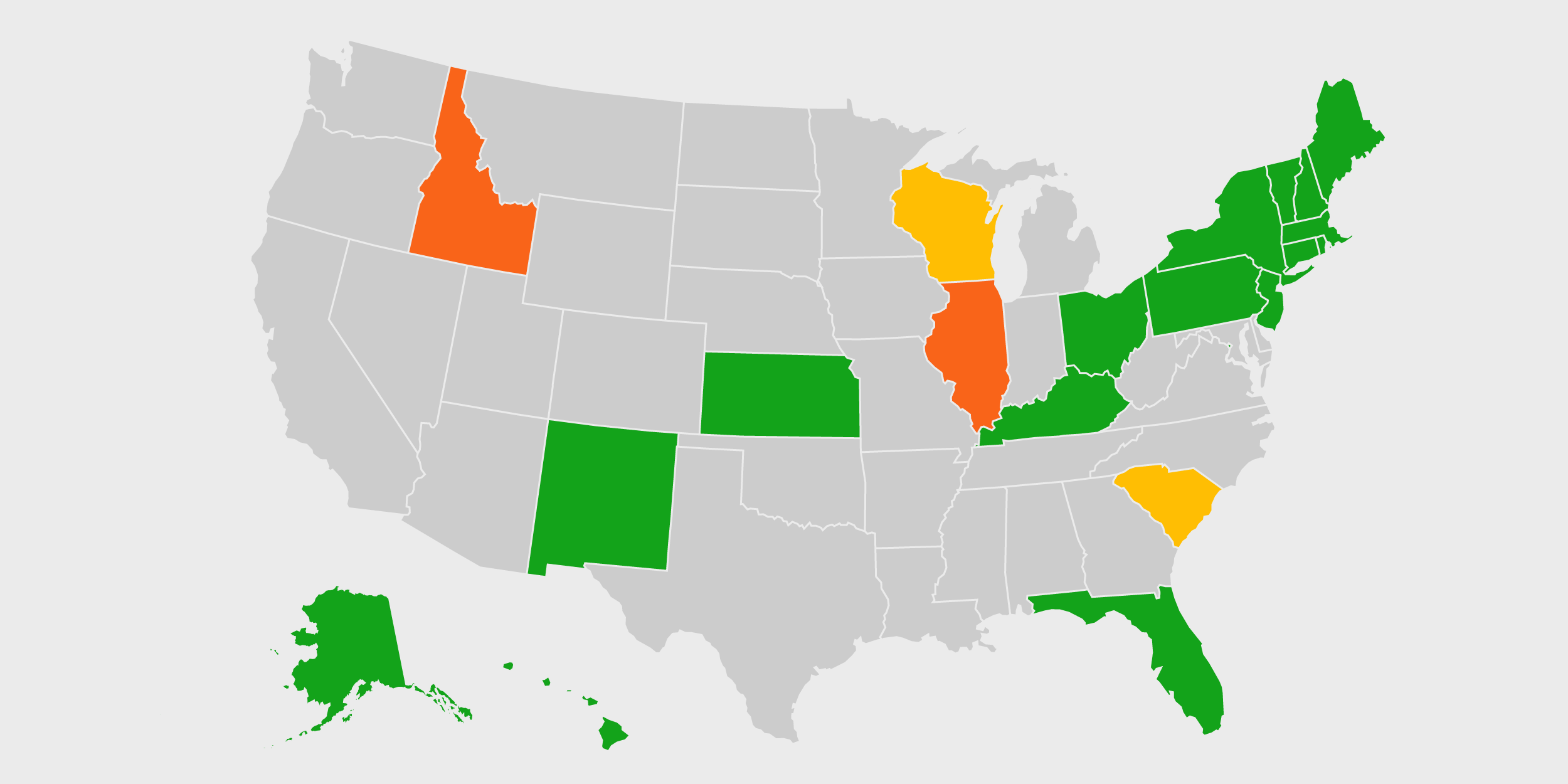
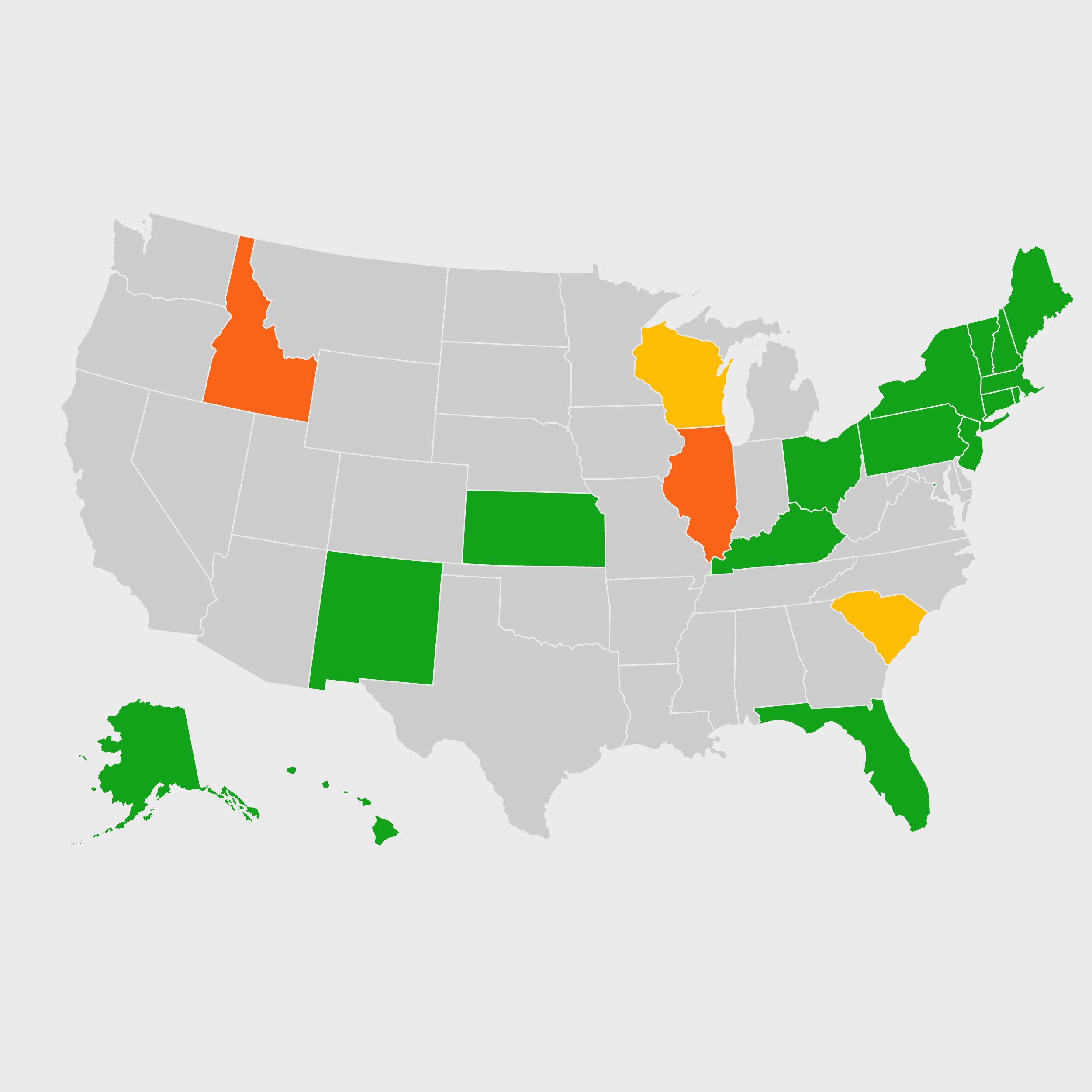
Check the interactive map below to see the latest guidance on travel and possible travel restrictions. This map will be updated weekly.
See NBC News’ coverage of the coronavirus, and see a map of coronavirus cases around the world or charts showing the day-by-day number of infections in the U.S. and worldwide.

